Skip to content
June 14, 2025
  • All New Leica BLK360 G2 Laser Scanner
  • Used Leica Absolute Tracker AT402 Laser Tracker
  • Used FARO X V2 Laser Tracker
  • FARO Vantage Laser Tracker

3D Laser Surveying blog

  • About
  • Contact Form
  • Disclaimer
  • Privacy Policy
  • Home
  • Leica Geosystems
  • Page 2

Leica Geosystems

  • 3D scanners
  • Leica Geosystems

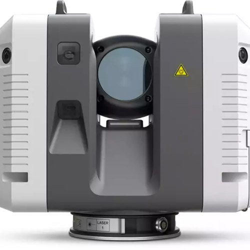
Used Leica ScanStation P20 Laser Scanner

admin2 years ago1 year ago04 mins

Used Leica ScanStation P20 Laser Scanner Leica ScanStation P20 is the ideal instrument when very short time windows are available for capturing High-Definition Survey™ data or when ultra-high density, full dome scan data is needed for client deliverables. Leica ScanStation P20 is the ideal instrument when very short time windows are available for capturing High-Definition…
Read More
  • 3D scanners
  • Leica Geosystems

Used Leica RTC360 3D Laser Scanner

admin2 years ago10 months ago013 mins

Used Leica RTC360 3D Laser Scanner Find used Leica RTC360 3D Laser Scanner that comes fully serviced and certified by Leica authorized and covered with Leica warranty for both parts and labour, also supplier that offers money back guarantee. Leica RTC360 3D Laser scanner makes 3D reality capture faster than ever before. With a measuring…

Read More
  • 3D scanners
  • Leica Geosystems

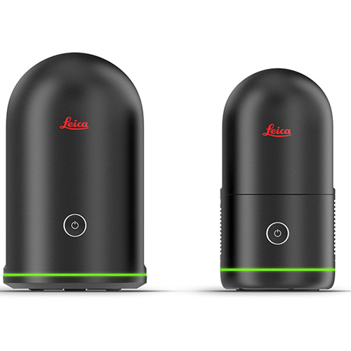
Used Leica BLK360 3D Imaging Laser Scanner

admin2 years ago1 year ago05 mins

Used Leica BLK360 3D Imaging Laser Scanner Leica BLK360 imaging laser scanner is a compact imaging laser scanner that uses a 360° laser distance meter and high definition panoramic imaging to create a 3D point cloud of the space around it. Leica BLK360 imaging laser scanner is a compact imaging laser scanner that uses a…

Read More
  • 3D scanners
  • Leica Geosystems

Used Leica BLK2GO Handheld Imaging Laser Scanner

admin2 years ago1 year ago04 mins

Used Leica BLK2GO Handheld Imaging Laser Scanner Leica BLK2GO Handheld Leica BLK2GO Handheld wireless and lightweight, designed for fast capture reality 3D environments on the move while the user is in motion, and continuously creates a digital representation of reality in the form of 3D point clouds. It captures images and dimensionally accurate point clouds…

Read More
  • 3D scanners
  • Leica Geosystems

New Leica ScanStation P30 3D Laser Scanner

admin2 years ago1 year ago011 mins

New Leica ScanStation P30 3D Laser Scanner Leica ScanStation P30 delivering highest quality 3D data and HDR imaging at an extremely fast scan rate of 1 mio points per second at ranges of up to 270 m. Unsurpassed range and angular accuracy paired with low range noise and survey-grade dual-axis compensation form the foundation for…

Read More
  • 1
  • 2
  • 3

Recent Posts

  • All New Leica BLK360 G2 Laser Scanner
  • Used Leica Absolute Tracker AT402 Laser Tracker
  • Used FARO X V2 Laser Tracker
  • FARO Vantage Laser Tracker
  • Used FARO ION Laser Tracker
  • 3D scanners
  • Artec 3D
  • Creaform
  • Faro Technologies
  • GeoSLAM Limited
  • Handheld 3D scanners
  • Laser Tracker
  • Leica Geosystems
  • Release
  • Trimble Navigation
  • Uncategorized

Recent Comments

    Statistic

    • 0
    • 224,979
    Newsmatic - News WordPress Theme 2025. Powered By BlazeThemes.